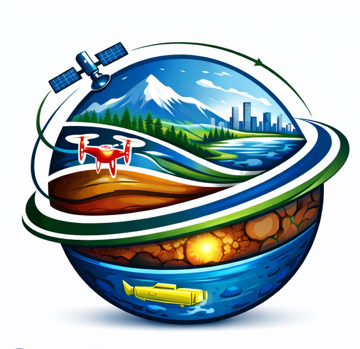
Services
Clear, professional offerings designed for measurable outcomes—from analysis to decision support and training.
Satellite-driven monitoring, change detection, classification, and impact assessment for environment, hazards, and infrastructure.
Spatial analysis, cartography, geodatabases, and decision-support mapping aligned to your operational and policy needs.
Spatial analytics for coastal and water-related applications, including vulnerability screening and decision-ready insights.
Risk assessment, resilience planning, and geospatial evidence to support preparedness, response planning, and adaptation.
Advanced analytics and AI-enabled workflows to accelerate classification, detection, and evidence extraction from spatial data.
Workshops and tailored training to help teams adopt GIS/EO workflows and sustain delivery internally.
Project planning and delivery support for geospatial, environmental, and technology-driven initiatives—ensuring scope, schedule, quality, and stakeholder alignment.
Risk identification, assessment, and response planning to reduce uncertainty and improve delivery confidence—especially for data-intensive, multi-stakeholder programs.